
Topographical Survey
Ground features, levels and site context for design and planning drawings.
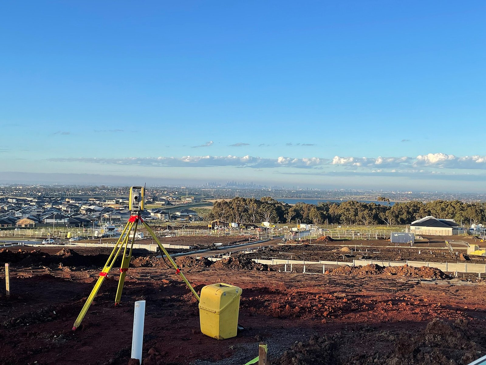
A topographical survey records the shape of the ground and the location of visible features so that designers and site teams can work from a shared plan. We survey to the brief: natural ground, structures, services that are visible, vegetation and access.
What this assignment typically includes
- Spot levels and break-lines
- Buildings, walls, fences and visible site furniture
- Roads, tracks, drains and water features as found
- Drawings suitable for overlay of proposed works
Drawings and digital files are prepared so that the next discipline — civil, electrical or land — can proceed from the same survey.
To discuss a topographical survey programme, contact the Ahmedabad office.