
Land Survey
Parcel geometry, site measurement and land records support for acquisition and development.
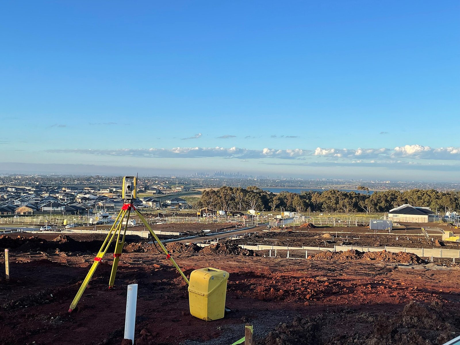
Land survey work measures parcels and site extents for development, acquisition and record. We survey what is on the ground and present it so that it can be compared with the documents the client holds.
What this assignment typically includes
- Site extent and internal feature measurement
- Support to land and project teams with drawings and coordinates
- Correlation with client-supplied revenue or title papers where provided
- Clear notes where occupation and paper boundaries differ
We do not replace a legal title opinion. We measure, draw and report so that the client’s land and legal advisers can work from field facts.
To discuss a land survey programme, contact the Ahmedabad office.