
Contour Survey
Contour plans for grading, drainage, earthworks and site appraisal.
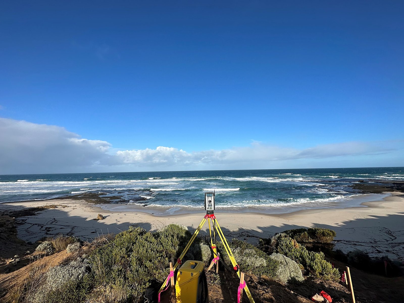
Contour survey work describes the land surface as a set of level lines. It is used for grading, drainage design, earthwork appreciation and for solar and industrial sites where ground form affects layout.
What this assignment typically includes
- Level grid or break-line survey as the site requires
- Contour interval agreed with the client
- Spot heights at structures and control points
- Plans issued with a clear level datum
The contour plan is a working drawing, not a decorative map. Datum and interval are stated on the sheet.
To discuss a contour survey programme, contact the Ahmedabad office.