
Services
Total Station, DGPS/RTK, GNSS and related survey services for civil, railway, wind, road, solar and demarcation — Ahmedabad, All India.
Survey services from Ahmedabad for civil, railway, wind, road, solar and demarcation work. Select a group, then open a card for the dedicated service page.
Control, topography, levels and land records from the instrument to the drawing.
-
 Total Station Survey
Angle and distance measurement for setting-out, as-built checks and detailed site geometry.
View service
-
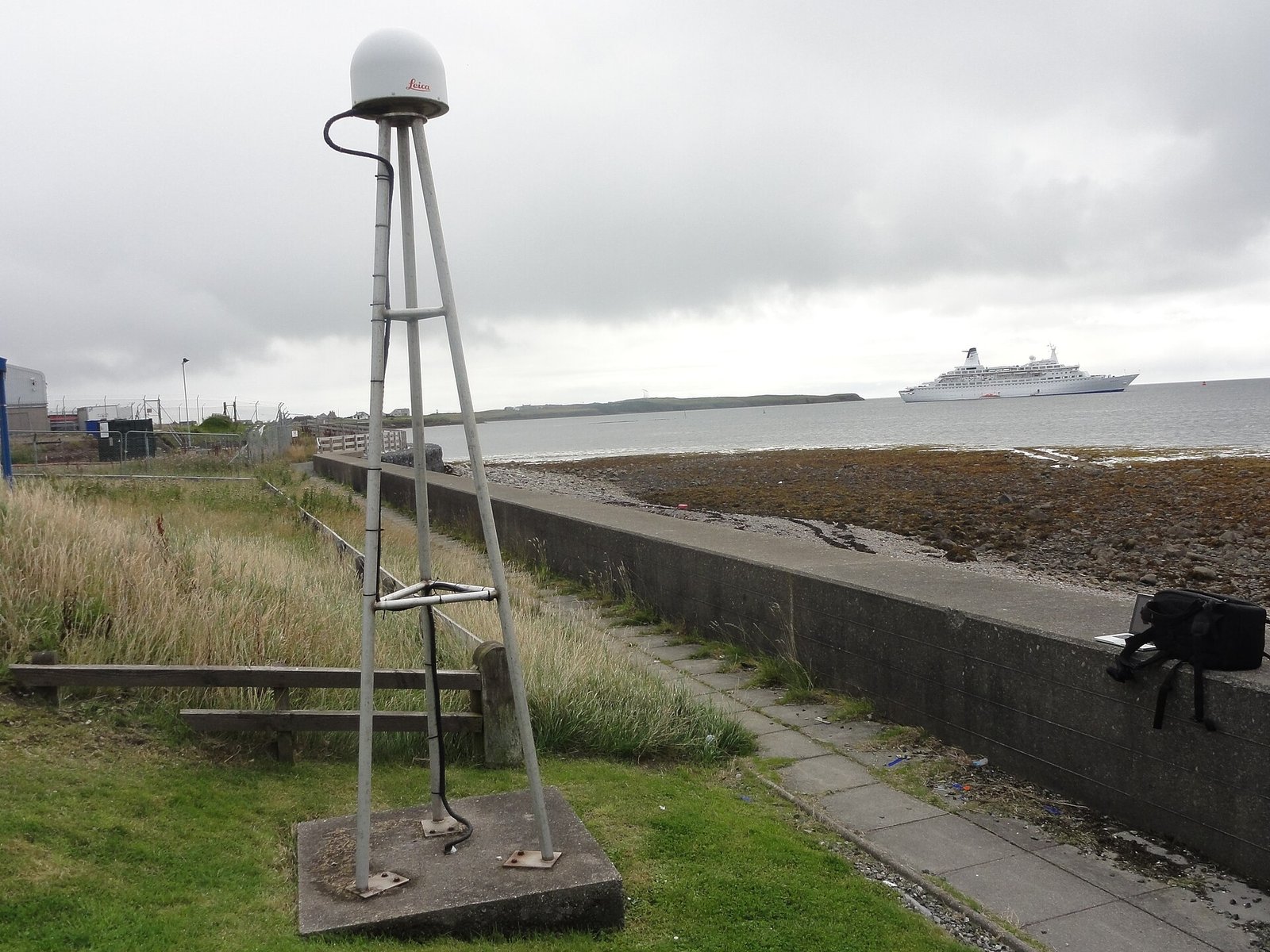
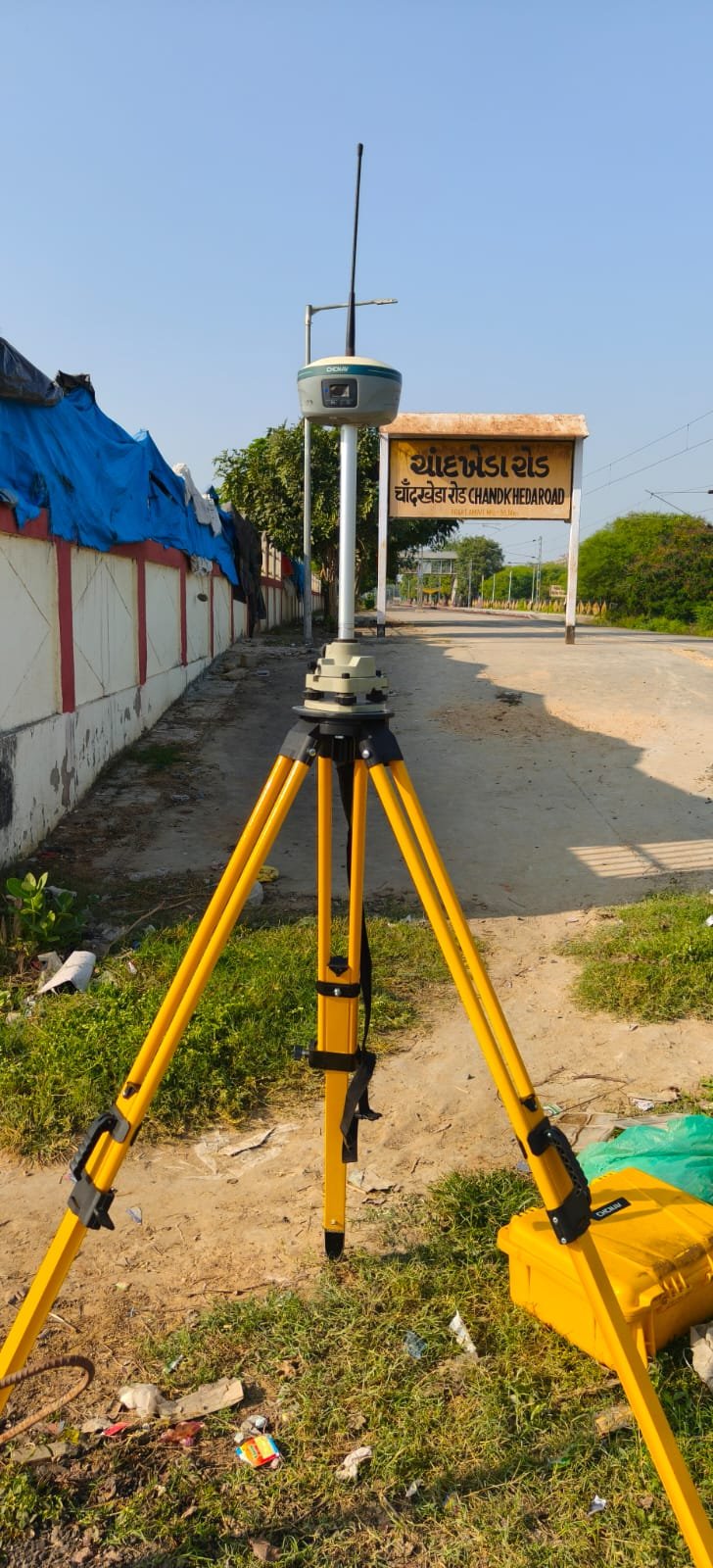 DGPS/RTK/GNSS Survey
Satellite control and real-time kinematic survey for large sites, corridors and grid tying.
View service
-
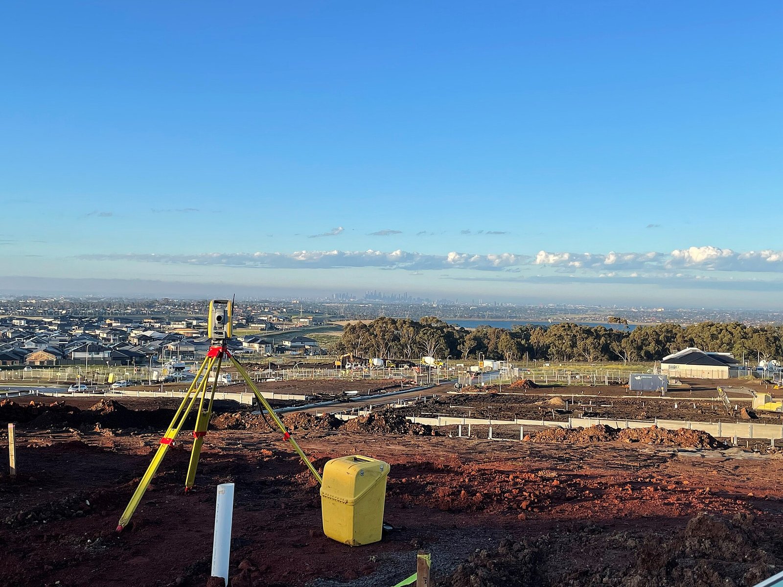 Topographical Survey
Ground features, levels and site context for design and planning drawings.
View service
-
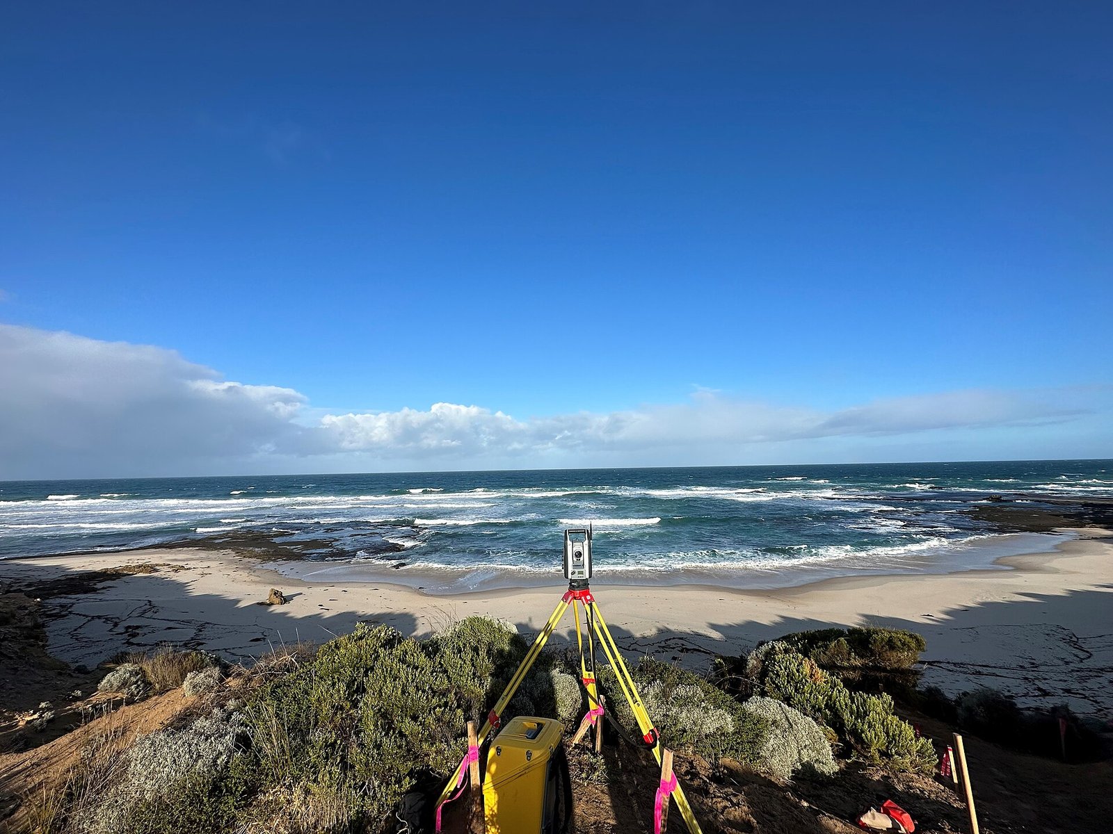 Contour Survey
Contour plans for grading, drainage, earthworks and site appraisal.
View service
-
Level Survey
Reduced levels, benchmarks and vertical control for civil and industrial works.
View service
-
Land Survey
Parcel geometry, site measurement and land records support for acquisition and development.
View service
-
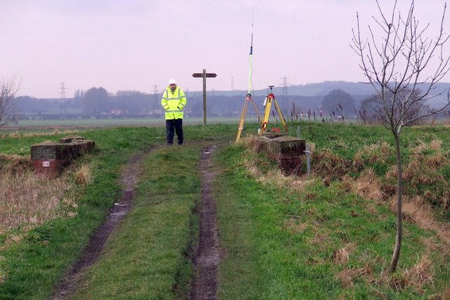 Boundary & Demarcation
Marking boundaries and setting points on the ground from survey control and client records.
View service
Corridors, yards, roads, railway and civil setting-out along a defined line.
-
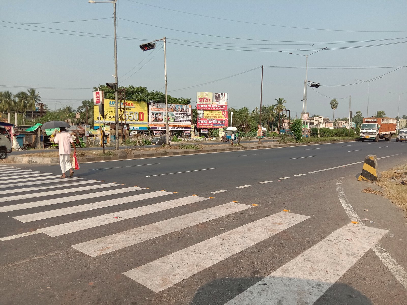 Route & Alignment
Centreline, chainage and corridor survey for linear infrastructure.
View service
-
Road & Highway
Highway and road survey: existing carriageway, proposed alignment and construction control.
View service
-
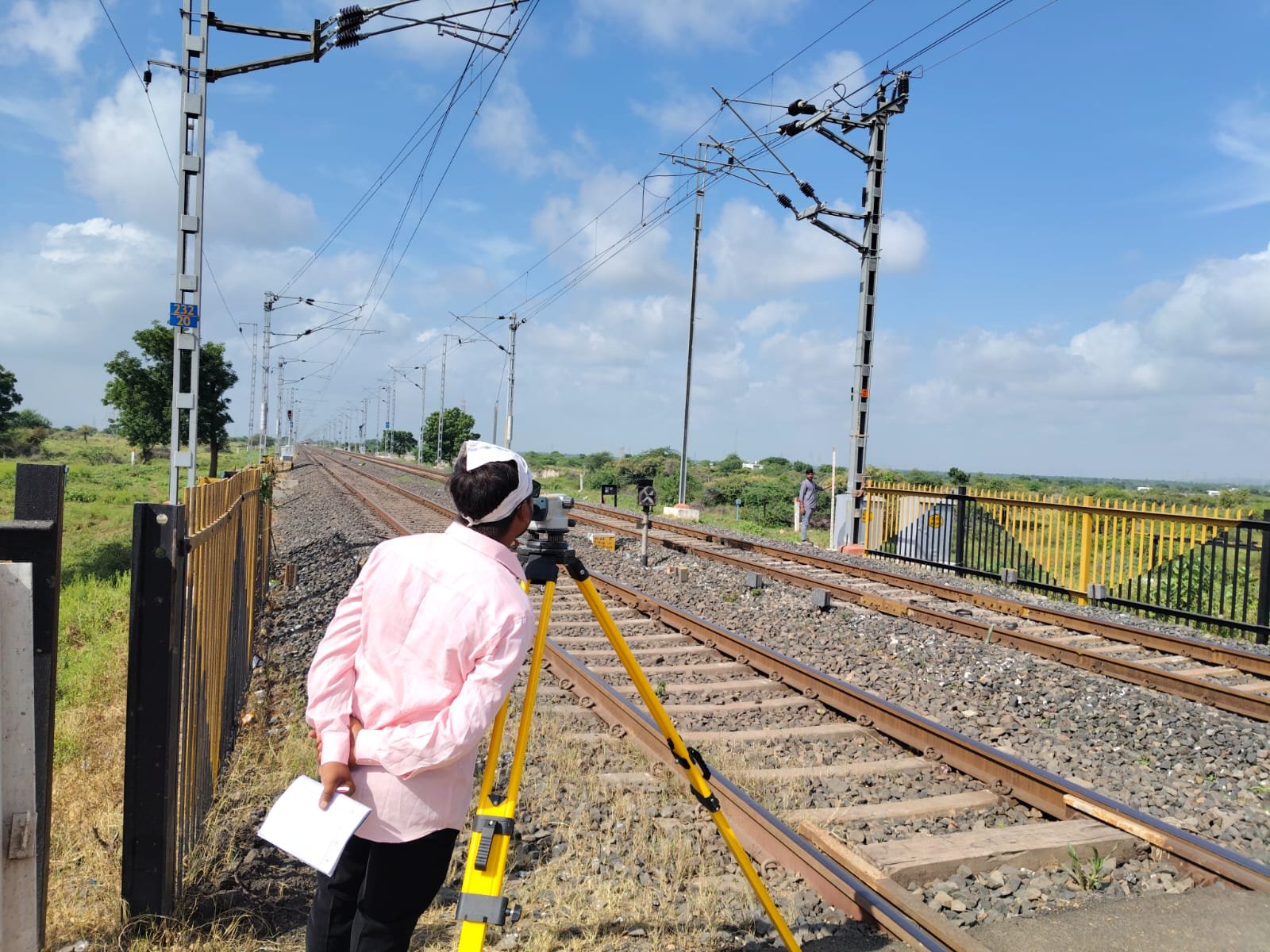 Railway Survey
Track, formation and corridor survey for railway construction and improvement.
View service
-
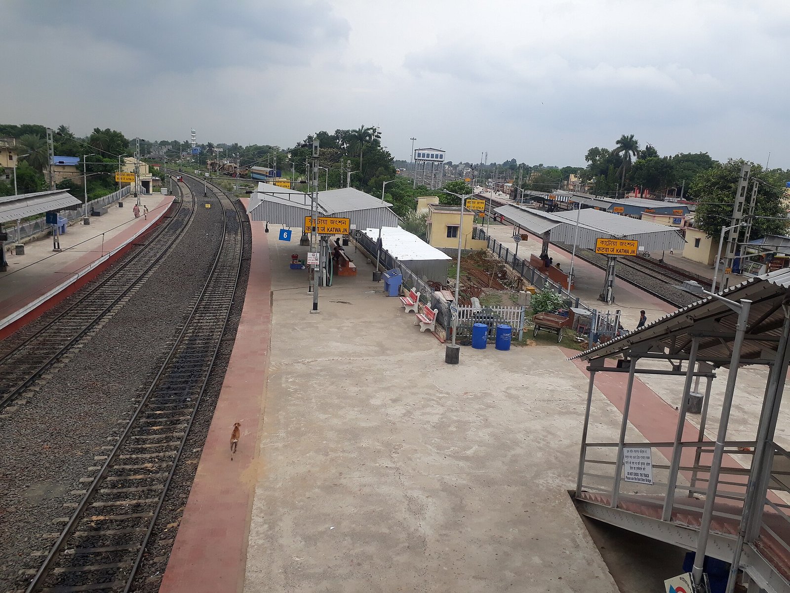 Railway Yard & Shed
Yards, sheds and workshop complexes: layout, levels and demarcation.
View service
-
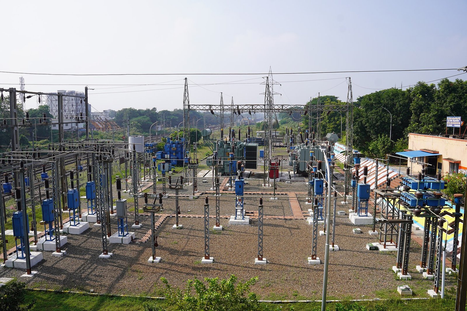 Transmission Line
Tower spotting support, route survey and structure setting-out for transmission corridors.
View service
-
Civil
Civil works survey: structures, earthworks, drainage and site control.
View service
-
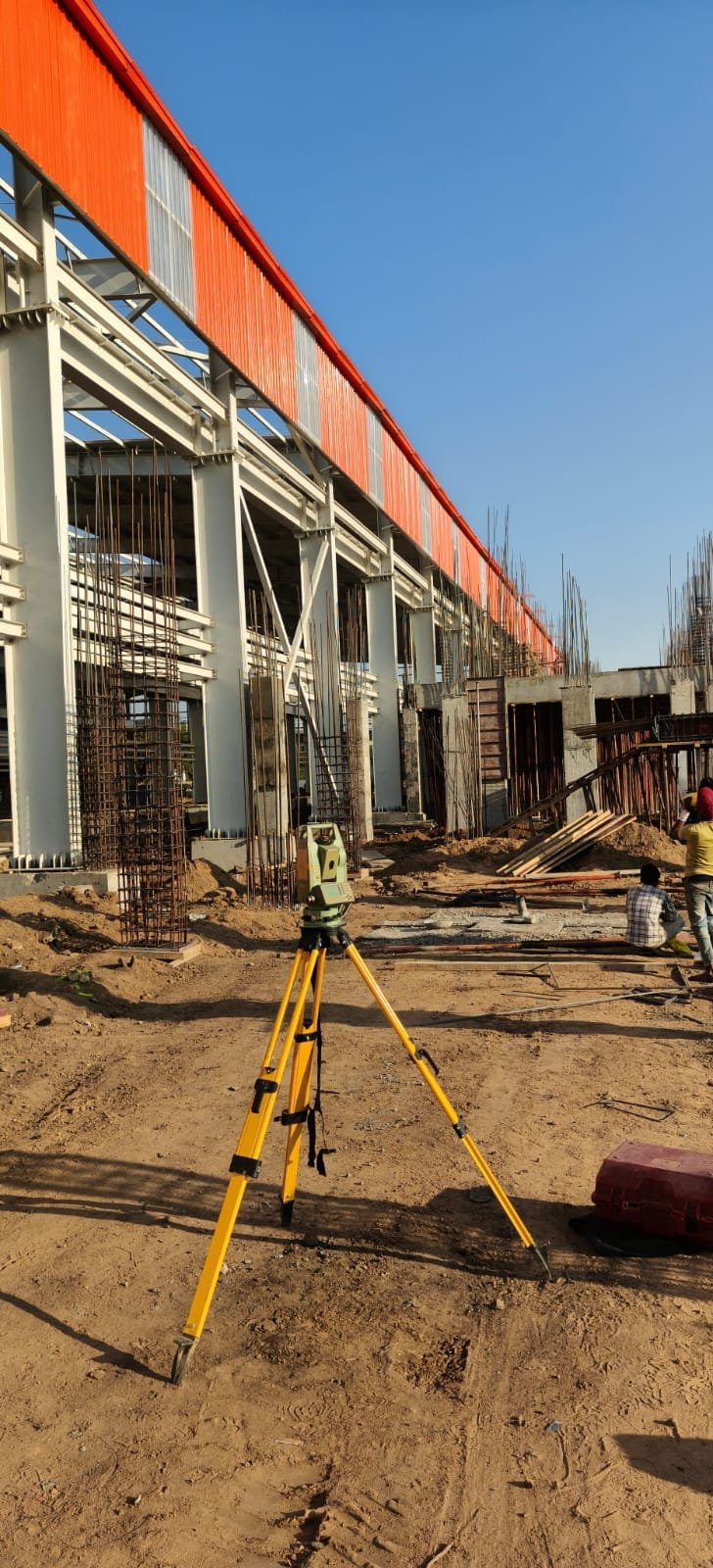 Construction
On-site construction survey: grids, levels, checks and contractor coordination.
View service
-
Infrastructure
Survey support for mixed infrastructure: access, utilities corridors and site-wide layout.
View service
Solar, wind, switchyard and machine alignment for generating and industrial sites.
-
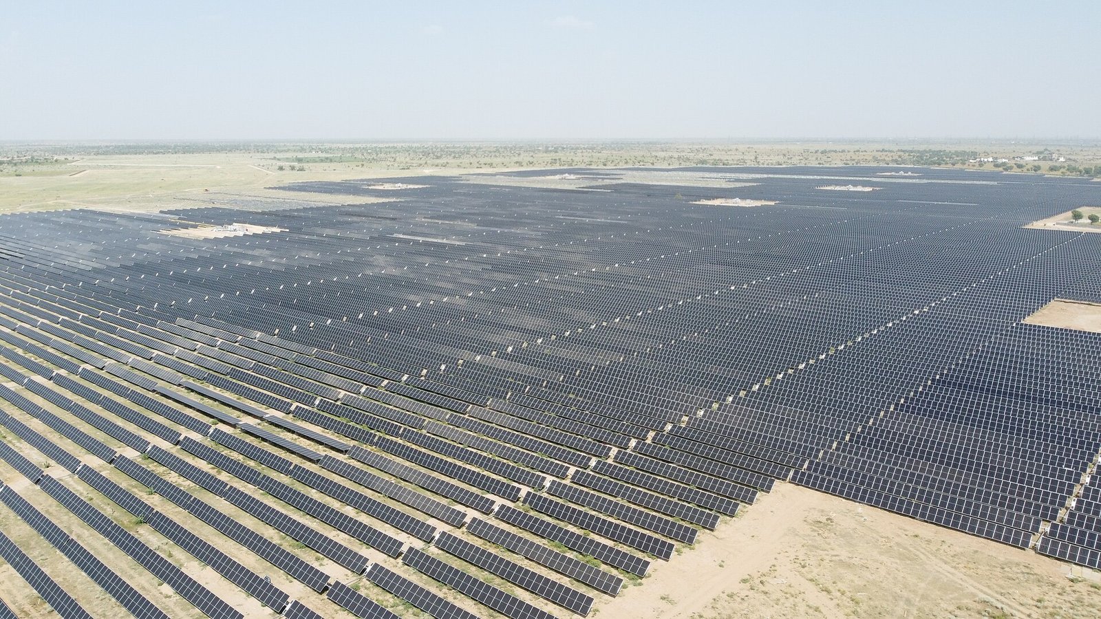 Solar
Solar site survey: topography, pile or table setting-out, fences and internal roads.
View service
-
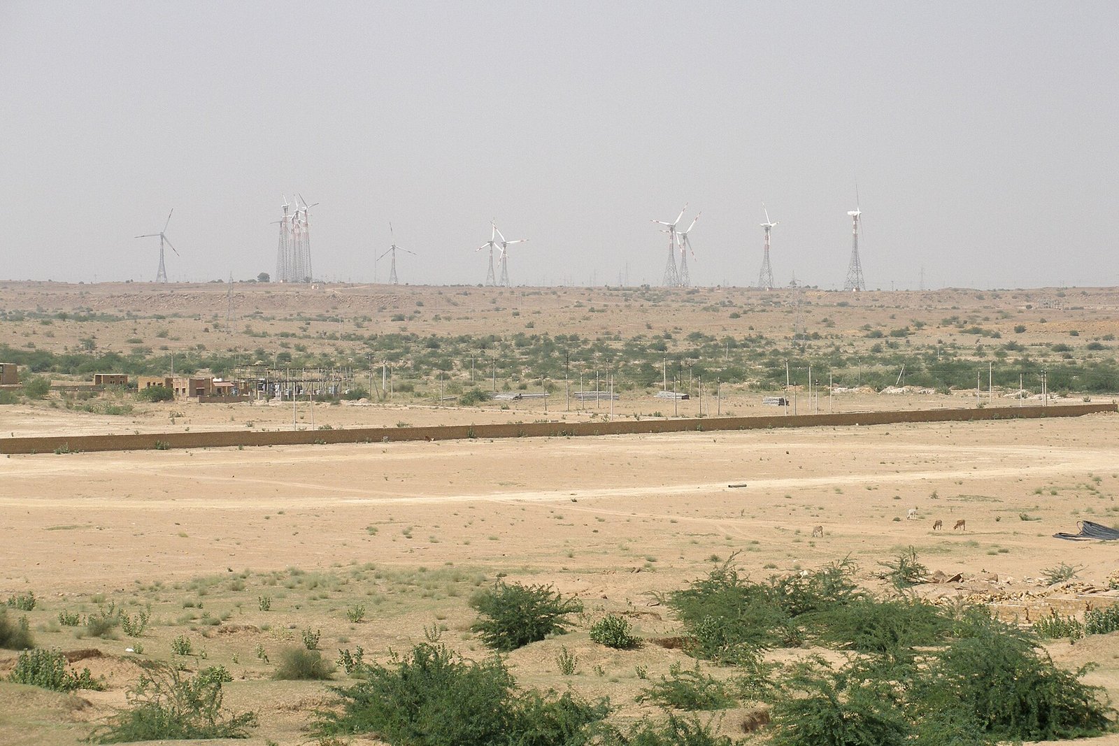 Wind
Wind site and corridor survey, including related transmission where instructed.
View service
-
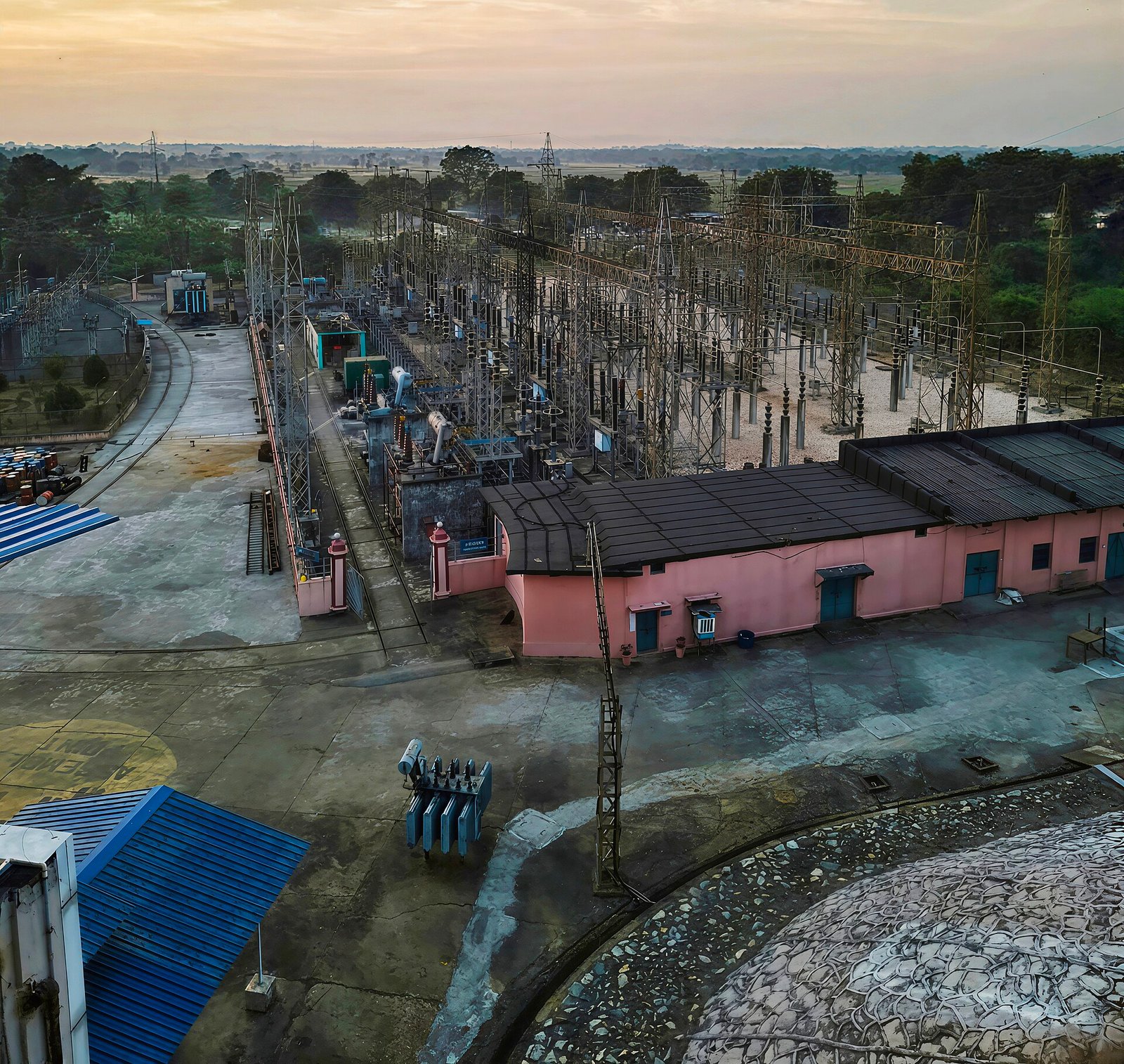 Switchyard & Substation
Switchyard and substation layout, levels and equipment setting-out.
View service
-
Industrial
Industrial plant survey: buildings, roads, yards and installation control.
View service
-
 Machine Alignment
Machine and production-line alignment using survey control on the shop floor.
View service