
Boundary & Demarcation
Marking boundaries and setting points on the ground from survey control and client records.
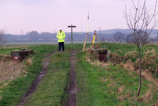
Demarcation places marks on the ground from a surveyed control and from the records the client provides. It is used for plots, project fences, railway and industrial land, and for construction envelopes.
What this assignment typically includes
- Recovery or establishment of control
- Computation of points from client drawings or schedules
- Field marking and witness sketches
- As-marked coordinates returned to the client
Marks are only as good as the control and the source documents. Both are recorded in the report.
To discuss a boundary & demarcation programme, contact the Ahmedabad office.