
DGPS/RTK/GNSS Survey
Satellite control and real-time kinematic survey for large sites, corridors and grid tying.
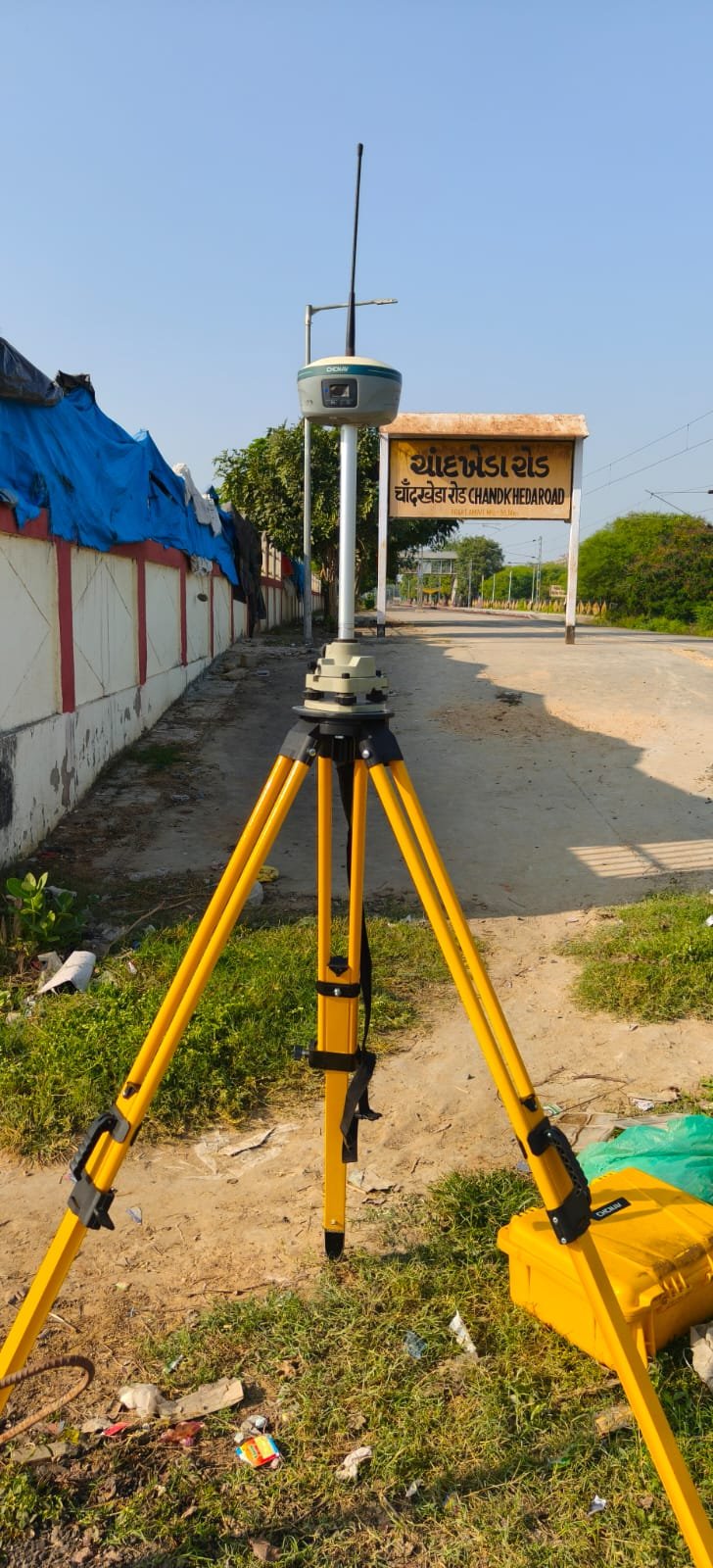
GNSS methods — including DGPS and RTK — establish control and capture points over large sites and linear corridors. They are used to tie local surveys to a consistent coordinate frame and to support solar, wind, road and railway programmes.
What this assignment typically includes
- Base and rover RTK observations
- Static GNSS for primary control where required
- Grid and local coordinate transformations as specified by the client
- Check points against total-station work
Results are issued as coordinates, control diagrams and reports. Instrument choice follows the accuracy the project actually needs.
To discuss a dgps/rtk/gnss survey programme, contact the Ahmedabad office.